UTA to lead NASA wildfire grant

A University of Texas at Arlington professor was awarded a major NASA grant to develop a new-generation tool that will allow states, counties and cities to predict how much damage wildfires will cause to freshwater supplies.
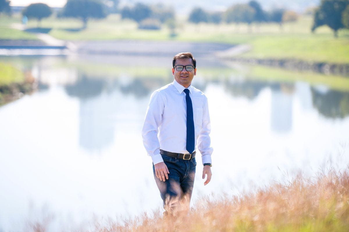
Adnan Rajib, assistant professor in the Department of Civil Engineering, is the principal investigator of this three-year, $824,020 grant. He will lead a multi-disciplinary team composed of computer scientists, satellite technology experts and water managers from Purdue University, the U.S. Geological Survey and several government and non-government agencies across the western U.S.
“This is a project that will make an impact nationwide,” Dr. Rajib stated. “Wildfires and other climate-charged disasters are becoming more destructive and more frequent. No community should be thinking that it’s not going to happen to them.”
As Rajib, who is also the director of UTA’s H2I Lab, explained, “wildfires dramatically alter the natural flow of water and contaminate freshwater sources with debris from burned areas. In severely affected regions, it can take years for water sources to recover. There is no easy way to predict such cascading hazards of wildfires, meaning communities are in the dark when protecting freshwater resources.”
To create their tool, Rajib and his team will use NASA satellite information to collect data from wildfires that have occurred and analyze it with the help of geospatial technology and artificial intelligence. This information will then be used in a computer simulation model to predict the altered stream flow and water quality.
Lan Zhao, a senior research scientist at Purdue University’s Rosen Center for Advanced Computing, serves as co-investigator and lead software architect on the project.
“Satellite data on fire and water are complex and challenging to interpret,” Zhao said. “Students, researchers and practitioners in fire-affected communities often do not have the expertise to overcome this barrier. We aim to develop a powerful tool that simplifies this process, making it easier to utilize satellite data in managing and mitigating fire hazards.”
Melanie Vanderhoof, a research geographer with the U.S. Geological Survey and a member of Rajib’s team, noted that "wildfires can make it difficult to maintain clean water supplies, especially in communities with limited resources for regular monitoring. Our project will help bridge this gap by providing essential data to those who need it most."
Brian Chaffin, executive director of the Clark Fork Coalition, a science-based watershed nonprofit in Missoula, Montana, will support the team by organizing training workshops for water utility and other water quality agency personnel in the western U.S.
“Strong community involvement will ensure that the project’s outcomes are practical and immediately beneficial for day-to-day decision-making,” Chaffin emphasized.
The NASA grant comes to UTA just after the February 2024 Texas Panhandle wildfire devastated over 1 million acres of land, becoming the largest wildfire in Texas history and the second-largest in U.S. history. Wildfires cause the country to lose between $400 and $900 billion each year in economic costs and damages, a figure expected to rise as such events become more frequent and severe.
Melanie Sattler, professor and chair of the Department of Civil Engineering at UTA, views this project as a prime example of how the department is at the forefront of using data science and geospatial technology to tackle emerging environmental challenges.
“Rajib’s work can become our compass in navigating the changing environment," she said.
Erin Urquhart, water resources program manager at NASA headquarters, noted that “this project advances NASA’s Earth Science to Action initiative by addressing environmental threats like droughts, floods and wildfires. We’re making NASA’s wildfire impact data accessible and actionable, empowering water managers to respond to post-fire hazards, prioritize interventions and plan for future climate challenges.”
“I am pioneering what I call humanitarian technology to help underserved communities better protect themselves,” Rajib said. “I’m excited to work alongside NASA, my partners and local communities to make a meaningful difference.”