Photograph by Maps4media
Each year, thousands of people flock to South Padre Island during Spring Break, seeking a week of sun on its white sands. But by 2100 those same beaches—and many others along the Gulf Coast—could be gone, swallowed by rapidly rising sea levels caused by climate change.
According to a National Park Service report, Padre Island National Seashore may experience a rise in sea level of 2 feet, 3 inches by 2100. And it’s not alone—worldwide, sea level has risen about 8 inches since 1880. The Gulf Coast is particularly vulnerable, it seems; a 2019 report from the National Oceanic and Atmospheric Administration found that it recorded the fastest rates of sea-level rise in the U.S.
What, if anything, can coastal communities do to mitigate such devastation? And what of the effects of climate change on plants, animals, and other species worldwide? These questions are at the heart of environmental research being done at The University of Texas at Arlington.
In addition to rising sea levels and flooding, our scientists are studying the dwindling biodiversity in our waterways, the dire consequences of land use and human activity on ecology, and the effect of climate change on regional weather patterns. By examining such threats, UT Arlington’s researchers are developing solutions that consider the need for development and economic progress in conjunction with environmental protection and a sustainable future.
“Environmental research is critical, and never more so than today, when there are so many threats to the health and sustainability of the planet,” says Morteza
G. Khaledi, dean of the College of Science. “Our faculty is addressing vitally important issues, including climate change, energy, clean water, and biodiversity, because having a habitable, healthy planet is something that directly affects every single person.”
Coastal Flooding
• California
Like south Texas, California’s coast is already experiencing the early effects of rising sea levels—extensive coastal flooding during storms. This is only projected to worsen as more ice sheets melt.
Civil engineering Assistant Professor Michelle Hummel is studying how natural features and nature-based features, along with artificial structures, can be used to control coastal flooding. The project is a partnership between UTA and the University of Arkansas and is funded by the National Oceanic and Atmospheric Administration.
“We are essentially trying to determine if nature-based approaches can be as effective as engineered approaches,” she says. “How can we leverage natural features to solve this problem?”
Nature-based approaches include sand dunes, marshes, and wetlands, which provide secondary benefits like restoring habitats for certain species. Artificial structures are things like seawalls, bulkheads, and levees. The two can also be combined to create structures like a seawall bordered by marsh.

Coastal communities are waking up and realizing that something needs to change.
- Michelle Hummel, assistant Professor of Civil Engineering
“Coastal communities are waking up and realizing that something needs to change,” Dr. Hummel says. “We need to develop and implement creative solutions that will protect our environment, people, and property.”
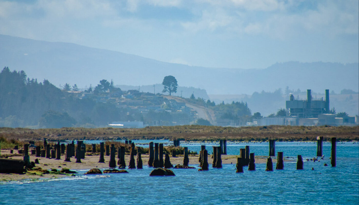
She and her team are developing an integrated modeling framework that includes surface water and groundwater to predict how various approaches would affect the extent and duration of flooding. They will examine two separate coastal areas in California—Santa Monica Bay and Humboldt Bay.
Santa Monica is open to the coast, with high waves and wide, sandy shores. Beyond the beach, the area is highly urban, so as sea levels rise, more infrastructure is at risk. In contrast, Humboldt Bay is in a more rural area and is separated from the ocean by a narrow inlet. Its shoreline is more agricultural and has different natural features and processes that could contribute to flooding or erosion.
By examining the two, the team can compare and contrast the efficacy of different approaches under different conditions. The framework developed could eventually be used to study other coastlines, including Texas’ Gulf Coast.
“Many coastal communities want to address flooding caused by rising sea levels but don’t know where to begin,” Hummel says. “Our framework will give them an invaluable tool they can use to understand which approaches would work best.”
Water Pollution
• Mississippi River
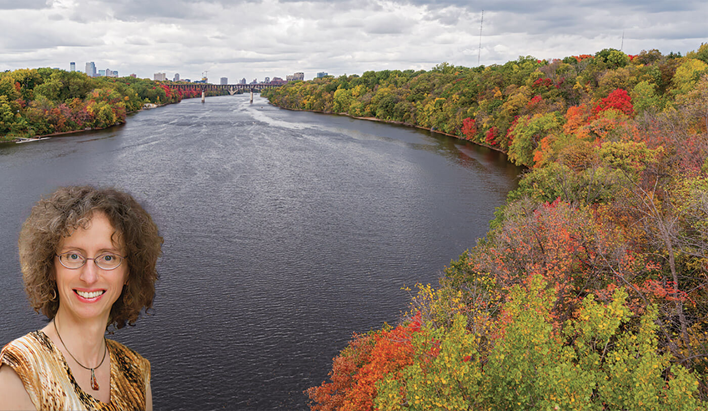
Beginning in Minnesota, the Mississippi River rushes south and cuts through the country’s heartland to the Gulf of Mexico. The second-longest river in the U.S., it brings drinking water to millions of people, provides a home to thousands of aquatic species, and serves as a touchstone in our nation’s culture and history.
But the river is badly polluted. Fertilizers and pesticides from surrounding farms flow into it, carrying nitrogen and phosphorus. Those nutrients fuel algae blooms that reduce oxygen and kill sea life.
“Biodiversity is essential for the health of our ecosystems and their ability to provide vital services to humans, such as clean water and air,” says Sophia Passy, associate professor of biology.

Agriculture is necessary and important, but so is the health of our water. Our work can inform conservation efforts so that we can manage both the needs for farmland and freshwater systems.
- Sophia Passy, associate Professor of biology
She is working with an international team of scientists to examine how agriculture is affecting the biodiversity of freshwater species. They analyzed samples from 1,225 streams near agricultural fields and forests, using national databases of algae, insects, and fish to identify what was found. Results showed that agriculture is indeed causing a loss of biodiversity in algae, insects, and fish at regional to subcontinental scales. For example, areas where streams received large amounts of nitrogen and phosphorus were home to far fewer species compared to predominantly forested regions. This loss resulted in an ecological process called biotic homogenization, where aquatic communities—in this case, those species that were able to thrive in streams near agricultural operations—become similar, limiting their ability to rebound from environmental disturbances.
The team’s work was published in Global Ecology and Biogeography, with William Budnick, a doctoral student in Dr. Passy’s lab, serving as lead author.
“Agriculture is necessary and important, but so is the health of our water,” Passy says. “Our work can inform conservation efforts so that we can manage both the needs for farmland and freshwater systems.”
Acid Rain
• Adirondack Mountains
In a separate study, Passy looked into the biological consequences of acid rain on water sources in the Adirondack Mountains. The largest park in the contiguous United States has been severely affected by the weather phenomenon, which is caused by atmospheric pollution.
She and a team of researchers collected algae samples from 200 streams in the Adirondacks with high, low, and variable acidities. (Algae are particularly important because they form the basis of the aquatic food chain.) They found that in streams with high acidity, only the most tolerant species were present; in streams with low acidity, acid-sensitive species were prevalent; and in streams of variable acidity, both acid-tolerant and acid-sensitive species were present.
Though environmental stress like acidification can initially cause a greater regional turnover as sensitive species become less ubiquitous, if it continues, it can result in the eradication of species and the biotic homogenization of regional floras. This in turn can lead to negative consequences for ecosystem functions.
Passy believes acid rain is one of the most serious human disturbances in the northeast United States. As such, she recommends that changes in species turnover be monitored because they can serve as early indicators of ecosystem degradation and future loss of regional biodiversity.
Ecosystem Disruption
• Texas
Even the smallest streams of water teem with life—fish, mussels, insects, frogs, lizards. Within these ecological spheres, organisms depend on one another to survive. Any outside disruption can prove disastrous.
One of the more common forms this disruption can take is human activity, such as bridge construction and other infrastructure projects. That’s what civil engineering Assistant Professor Habib Ahmari is hoping to mitigate through his collaboration with the Texas Department of Transportation (TxDOT).
“Anytime a bridge is built, there is an impact,” he says. “Land is disturbed. Vegetation is removed. Sediment from the bridge construction sites can enter the streams, which has the potential to change the quality of water and impact the stream ecology.”
In Texas, the risks are exceptionally high. The state has nearly 55,000 bridges for public vehicular traffic—the most in the country, according to a 2018 TxDOT report. Dr. Ahmari and his team, which includes civil engineering Associate Professor Xinbao Yu and researchers from Texas A&M University, are developing a model for the agency that predicts the ecological consequences of bridge construction to support more environmentally sound project planning.
The team will conduct a baseline study of the aquatic habitat—including species and population sizes—before construction begins, then follow up throughout the construction process and after it is complete. Much of the focus will be on freshwater mussels, which play a critical role in streams because they filter the water for other species and serve as an important food source for otters, raccoons, muskrats, and some fish. These important bivalves are already imperiled, with 15 species at risk of extinction in Texas, according to Texas Parks and Wildlife.
“If freshwater mussels are killed or forced to migrate from the rivers, the habitat of the ecological system will change dramatically,” Ahmari says. “These mussels are very important to the health of our waterways and must be protected.”
The resulting model will incorporate various factors, including the type of soil, slope of land, and typical rainfall pattern, to generate a prediction for sediment release. Various measures that reduce sediment release—such as building barriers between the bridge site and stream and applying mulch to the ground—will be incorporated so planners can study multiple scenarios. Throughout construction, Ahmari and his team will also conduct population samples of freshwater mussels and their habitat near the bridge and further downstream to determine the extent of impact.
They believe the tool they are building could eventually be modified to study other species or habitats, with additional states potentially using it to plan for new bridges.
Shifting Weather Patterns
• Sierra Madre Occidental
Every summer, the North American Monsoon gathers over the southwestern United States and northern Mexico. Lasting usually until September, the weather pattern fuels rain and thunderstorms across the region, bringing more than half the annual rainfall to the drylands of West Texas; Chihuahua, Mexico; and neighboring states in both countries.
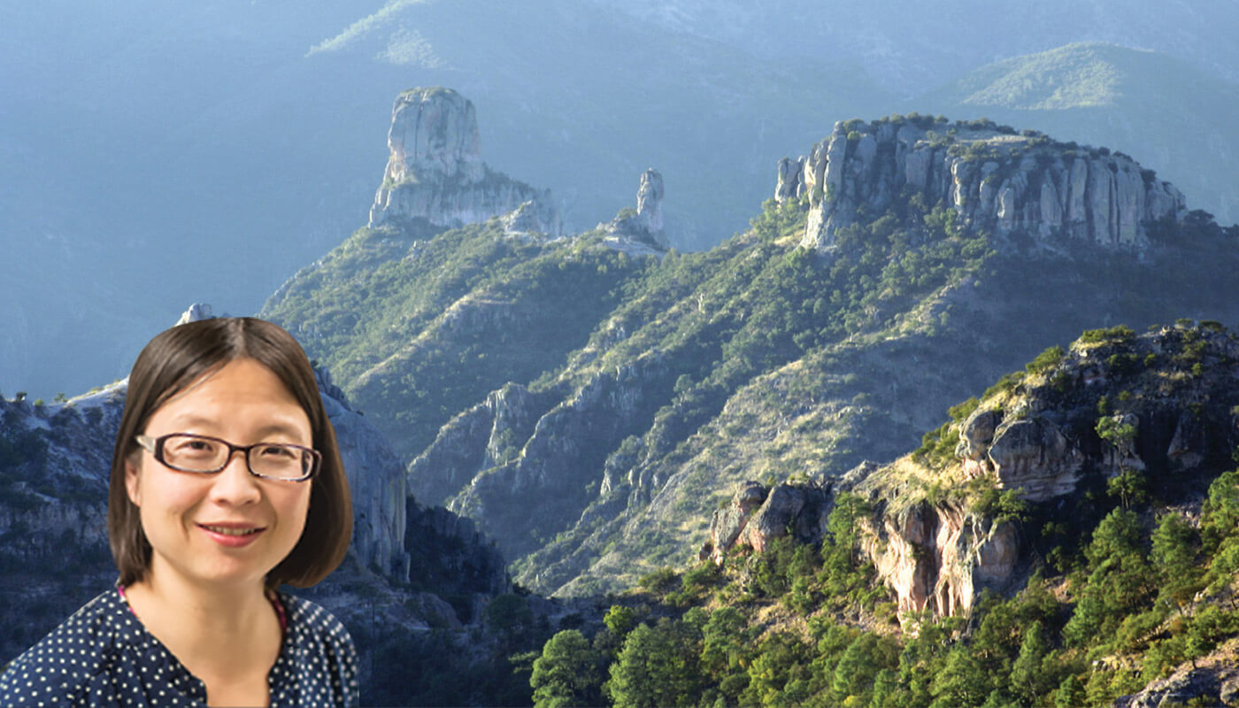
The monsoon hovers over the Sierra Madre Occidental, a mountain range that stretches along the west coast of northern mainland Mexico. Majie Fan, an associate professor of earth and environmental sciences, is studying the mountain range’s evolution in an attempt to better understand its role in forming the monsoon.
“The birth and development of the North American Monsoon have received little modern research attention despite the millions of people in the southwestern United States and western Mexico who rely on its rains for agriculture, domestic use, and industry,” she says. “Understanding its evolution will give us valuable insight into the entire region’s weather patterns.”
That’s especially important for future water management, as numerical simulations suggest that the timing of monsoon rains will change with global warming. Scientists must understand the processes that caused this shift in the weather pattern if they’re going to help the region adapt to the changes it will inevitably cause.

Climate change is likely to affect the timing of monsoon rains, and we should be prepared.
- Majie Fan, associate professor of earth and environmental sciences
To do so, Dr. Fan and her team are measuring stable isotope compositions—the ratios of different oxygen and hydrogen isotopes—in modern river water and in ancient water archived in hydrated volcanic glass that erupted millions of years ago. The two will be compared to reveal the topographic history and help researchers assess the evolution of the monsoon.
“Data gathered can help scientists develop land and water management processes to better adapt to climate change in coming years,” Fan says. “Climate change is likely to affect the timing of monsoon rains, and we should be prepared.”
Biodiversity Loss
• Dominican Republic
When a forest is cut down, which species die? Which survive? Which thrive?
Biology Assistant Professor Luke Frishkoff is exploring these questions by looking at how land use affects biodiversity loss among animals and why some species are able to adapt to climate change.
“When discussing climate change and deforestation, we tend to think of all species as losers,” he says. “But roughly 30% of species are actually quite good at coping, and we are working to determine why that is.”
Dr. Frishkoff has traveled across Texas, Jamaica, the Dominican Republic, Costa Rica, and Ecuador to examine how various reptiles and amphibians adjust to changes in the land, such a forest being chopped down to clear room for agriculture production.
In one study in northern Dominican Republic, he and his team compared the numbers of Anolis lizards in the highlands—a location with cooler temperatures and higher altitude—with those in the lowlands, an area that tends to be warmer and closer to sea level. Anolis lizards are common tropical lizards that are a model system in ecology and evolutionary biology.
The researchers found that at low elevation, deforestation causes Anolis lizard populations to dwindle, with remaining lizards migrating to higher elevations. However, the lizards unique to the region’s mountaintops could not survive when forests were removed.

Roughly 30% of species are actually quite good at coping, and we are working to determine why that is.
- Luke Frishkoff, Assistant Professor of Biology
“Essentially, we determined that elevation plays a major role in which species survive when humans modify habitats,” Frishkoff explains. “By comparing high and low elevations, we can get a sense of how these biological communities might look in the future.”
As the climate warms and human land use changes, it is crucial for scientists to understand and have mechanisms to predict which species will endure. Biodiversity balances the ecosystem, as species need one another to survive.
“Eventually, we want to predict how biological communities across climates and across land uses respond,” Frishkoff says. “Policymakers and planners can use this information to make decisions that weigh both the needs of humans and biological communities.”
Through these and other projects, UTA is positioning itself to be a leader in environmental research.
“We’re tackling this important work by hiring knowledgeable research faculty, dedicating resources and lab space to the work, and, most importantly, training our students to be the next generation of innovative scientists,” Dean Khaledi says. “The education and research experiences they receive here will give them the tools and knowledge necessary to lead the charge in reducing the negative impacts of climate change and improving the health of our planet.”


